About the Down East Loop
The Down East Loop is a 2,400-nautical-mile cruising route through some of North America's most spectacular waters. This alternative to the year-long Great Loop offers world-class cruising in just one summer season—perfect for sailors who want an ambitious adventure without taking a full year off.
The Route
Starting from New York Harbor, the loop takes you through an extraordinary diversity of waters: inland canals, powerful rivers, open ocean crossings, and protected island passages.
From New York to the St. Lawrence
Head north via the Hudson River and Erie Canal, or take the scenic route through Lake Champlain and the Richelieu River. Both paths converge at the St. Lawrence River near Montreal.
Through French Canada
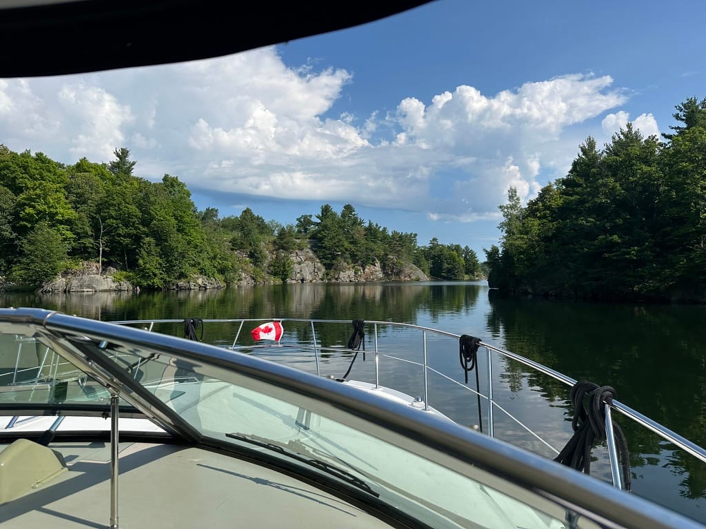
Navigate the St. Lawrence past Québec City, sharing the commercial shipping channel with thousand-foot freighters. Round the dramatic Gaspé Peninsula, where the river transforms into the Gulf of St. Lawrence.
The Canadian Maritimes
Continue through the Northumberland Strait past Prince Edward Island, explore the pristine Bras d'Or Lakes of Cape Breton Island, and cruise south along Nova Scotia's rugged eastern shore to Halifax.
Bay of Fundy to Maine
Cross the legendary Bay of Fundy—home to the world's highest tides, with ranges up to 50 feet—then follow the classic cruising grounds of coastal Maine through Penobscot Bay, past Portland, and back to New York.
Most cruisers run the loop clockwise to leverage prevailing westerly winds and favorable St. Lawrence River currents. Plan to depart New York in May or early June and return by late September or October.
Why Cruise the Down East Loop
Extraordinary variety in one season. You'll experience everything from navigating commercial waterways alongside massive freighters to anchoring solo in remote Nova Scotia coves. Watch whales breach in the Gulf of St. Lawrence. Navigate through fog along the Maine coast. Time your passage through the Bay of Fundy's extreme tides. Explore vibrant French-Canadian cities and centuries-old fishing villages.
Wildlife encounters are guaranteed. Whales, seals, puffins, bald eagles, and more become regular companions throughout the journey.
Always within reach of land. Unlike bluewater passages, you're never more than half a day from a protected harbor or anchorage. The route is well-charted with readily available marine services, making it accessible to a wide range of vessels and experience levels—though proper preparation is essential.
A true cruiser's challenge. Navigate strong St. Lawrence currents. Coordinate VHF communications with Seaway lock operators. Master extreme tidal planning in the Bay of Fundy. Thread through dense fog off Nova Scotia. This route demands seamanship and rewards competence.
Navigation Considerations
Height restrictions: The Erie Canal route limits vertical clearance to 20 feet. The Lake Champlain/Chambly Canal route restricts clearance to 15.5 feet. Beyond these chokepoints, the route accommodates most vessel types.
Depth restrictions: Erie Canal lock sills require 14 feet of depth or less.
Cruising speed: Most of the route is suitable for vessels maintaining 6 knots.
Key challenges:
- St. Lawrence River: Strong currents requiring careful timing
- Seaway locks: Commercial schedules, VHF coordination required
- Bay of Fundy: Tidal ranges up to 50 feet with powerful currents
- Nova Scotia/Maine coast: Summer fog is common and thick